Showing posts with label Tropical Storm Debby. Show all posts

Atlantic Storms on Standby: Why September’s Silence Might Be Short-Lived
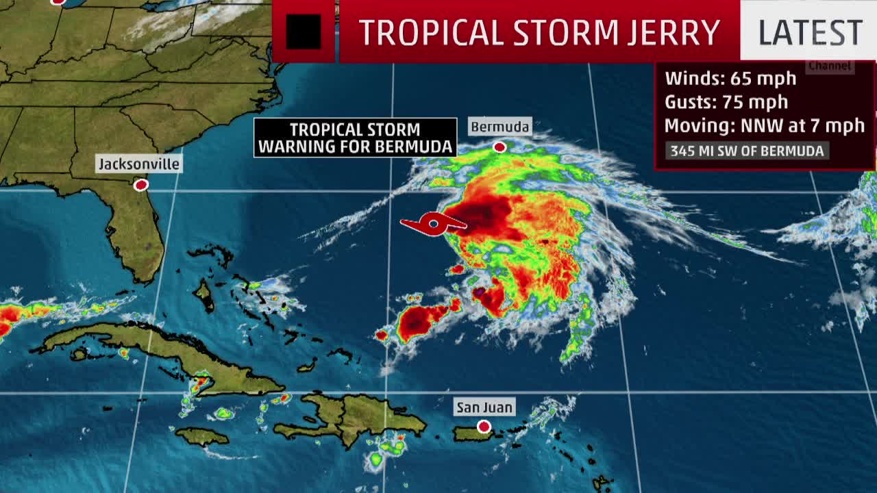
atlantic tropical storms

atlantic tropical storms


Miami, FL — September 15, 2025

The Atlantic hurricane season has entered its statistical peak, but the skies remain surprisingly clear. With only six named storms and one hurricane so far, 2025 is tracking below average—but experts say the quiet won’t last.

Meteorologists point to a cocktail of suppressive factors:

Saharan dust choking moisture from the air

High wind shear disrupting storm formation

Stable pressure systems across the Atlantic basin3

These conditions have created a hostile environment for tropical cyclones, even as sea surface temperatures remain high.

Colorado State University researchers predict that the Madden–Julian Oscillation will soon shift, bringing more moisture and instability to the Atlantic. NOAA’s long-range outlook also shows rising probabilities for storm development in late September3.

“We’re seeing the ingredients for a flip,” said David Zierden, Florida’s state climatologist. “The second half of the season could be a different story.”

While the Atlantic has been quiet, the eastern Pacific has been unusually active, with 12 named storms and seven hurricanes already this year. This contrast underscores how regional climate dynamics can diverge sharply—even within the same hemisphere.

With the next named storm set to be Hurricane Gabrielle, residents along the Gulf and East Coast are urged to review emergency plans. The warm waters of the Gulf and Caribbean remain a potent fuel source for rapid intensification4.

Read more

The Calm Before the Surge: Atlantic Hurricane Season Poised for Late-September Spike


Pryor, OK — September 15, 2025

Despite reaching the climatological peak of hurricane season on September 10, the Atlantic basin has remained eerily quiet. For the first time in nearly a decade, no named storm was active on the peak day—a rarity that has meteorologists both puzzled and cautious.

So far, the 2025 Atlantic hurricane season has produced six named storms, including one major hurricane—Erin, which reached Category 5 strength but never made landfall2. The lull is attributed to a combination of dry Saharan air, high wind shear, and stable atmospheric conditions that have suppressed storm formation3.

Meteorologist Ryan Maue described the basin as a “ghost town,” while others warned that the quiet may be temporary. Historically, about 70% of hurricane activity occurs between mid-September and October.

The National Hurricane Center had been monitoring Invest 91L, a tropical wave off the coast of Africa, with high hopes it would become Tropical Storm Gabrielle. However, the system struggled against dry air and dissipated before reaching the Caribbean5.

Still, forecasters caution that the Atlantic is entering a more favorable phase. The Madden–Julian Oscillation, a climate pattern known to boost storm activity, is expected to strengthen in the coming weeks.

Experts warn that “homegrown” storms—those forming in the Gulf of Mexico or near the southeastern U.S. coast—can develop rapidly and leave little time for preparation3. With ocean temperatures in the Gulf reaching record highs, any disturbance could quickly intensify.

“This lull is deceptive,” said Jennifer Francis of the Woodwell Climate Research Center. “Conditions are aligning for a potentially active second half of the season.”

Read more

Is our hurricane rating system outdated? A USF researcher suggests a change

 Tropical Storm Debby,

 Tropical Storm Debby

As Tropical Storm Debby grazed the Tampa Bay area last August, many Floridians treated it like any other summer rainstorm: Inflatable floats dotted Bayshore Boulevard, curious onlookers flocked to the beach and drivers plowed through pooling floodwaters.

But Debby’s ugly side soon appeared.

About a day after the storm passed, the Alafia River swelled to nearly 20 feet, its highest level in seven years. Homes in Lithia and Riverview were inundated with floodwater. All told, the storm claimed 17 lives in the U.S., strengthening to a Category 1 storm at its peak but never becoming a major hurricane.

Researchers point to Debby as just one recent example of what’s wrong with how tropical cyclone risk is communicated. Forecasters in Tampa Bay warned about possible flash flooding and up to five feet of surge for the coasts, but for the chiseled Floridians who pride themselves on their storm hardiness, one main thing mattered in their decision-making: Debby was just a tropical storm.

The National Hurricane Center classifies hurricanes using the 1970s-era Saffir-Simpson Scale, which uses only wind speed as its guiding variable. A Category 1 storm has wind speeds up to 95 mph, a Category 2 up to 110 mph, and so on.

But Jennifer Collins believes there is a better way.

In 2021, Collins, a hurricane researcher and professor at the University of South Florida’s School of Geosciences, joined a team from the Netherlands to answer an increasingly common question in scientific circles: How can we better inform the public of hurricane risks — and make them safer?

Their solution was to build a new hurricane classification scale entirely, one that also accounts for the threats of storm surge and rainfall.


Read more

Read more